Where to stay in Medicine Hat: downtown, the river parks and the southeast hotels
Unofficial guide by bipaventures.com. Not affiliated with or endorsed by Medicine Hat.
Medicine Hat sits on the South Saskatchewan River in southeastern Alberta, on the Trans-Canada Highway. This guide splits the city into five zones and lists what the city and Tourism Medicine Hat websites say about each one, then shows the two Medicine Hat hotels on our list with facts from their Orbitz listings. Every detail carries a source and the date checked, 16 November 2026. Rooms are booked on Orbitz; this site takes no bookings.
Who books a room in Medicine Hat
Tourism Medicine Hat names farming and agriculture, oil and gas, construction and tourism among the city's key industries, which matters if you are travelling for work in one of those sectors. The same source describes Medicine Hat as part of the Canadian Badlands and one of the larger accommodation hubs for visitors heading into that region. Road travellers pass through on the Trans-Canada Highway, where the Saamis Tepee and the visitor centre stand. Air travellers use Medicine Hat Regional Airport, which WestJet serves. The city also lists parks with playgrounds, waterparks and trails along the river.
Five zones to know before you book
Historic Downtown
Tourism Medicine Hat says the downtown architecture was shaped by the arrival of the Canadian Pacific Railway in 1883 and later clay and natural gas discoveries. Many early brick buildings still stand and now hold shops, coffee shops, studios and breweries. The Esplanade Arts and Heritage Centre is at 401 1st Street SE, and Medalta's ceramic arts centre anchors the arts scene. Self-guided tours cover the historic buildings, downtown murals and James Marshall's brick murals. Neither hotel on our list is downtown; confirm parking with your host if you stay here.
Trans-Canada Highway and the Saamis Tepee
The Saamis Tepee stands on the Trans-Canada Highway next to the Tourism Medicine Hat Visitor Centre at #330 Gehring Road SW. The City of Medicine Hat says its main masts measure 215 feet and it was first built for the Calgary 1988 Winter Olympics. Below it, in Seven Persons coulee, lies the Saamis Archaeological Site, a Provincial Historic Site of 36 hectares. This is the first stop for many drivers arriving by highway.
Southeast Hill and the south-side hotels
Both hotels on our list are on the southeast side. Prairie Crest Medicine Hat is at 20 Strachan Crt SE, with Medicine Hat Mall a 16-minute walk away according to Orbitz. Ramada by Wyndham Medicine Hat is at 3282 13th Avenue South East, with the mall a 19-minute walk away. Tourism Medicine Hat places Kiwanis Central Park on the Southeast Hill, with a playground, a waterpark and nine disc golf baskets, and describes Ross Glen Water Park as close to hotels, restaurants and shopping on the south side.
River valley parks
Tourism Medicine Hat lists more than 190 kilometres of trails in the city. Police Point Park is named for a former Northwest Mounted Police outpost, and some of its cottonwood trees are thought to be 200 to 300 years old. Strathcona Island Park has a playground, a waterpark, paved trails, picnic areas and a boat launch, and you can bike from it to Historic Downtown. Echo Dale Regional Park adds mountain biking trails, camping and a boat launch.
Airport and Highway 3
Medicine Hat Regional Airport is just off Highway 3 at 1-49 Viscount Ave SW, according to Tourism Medicine Hat. Orbitz lists the airport as an 8-minute drive from Prairie Crest Medicine Hat and a 7-minute drive from Ramada by Wyndham Medicine Hat. Neither listing mentions an airport shuttle, so plan a taxi or a rental car and confirm with the hotel.
2 Medicine Hat hotels with self parking at no charge
Prairie Crest Medicine Hat is listed first because it has its own guide on this site. Ramada by Wyndham Medicine Hat follows; it is the only other Medicine Hat hotel in the Orbitz recommended order we used for a Canada search, checked on 16 November 2026. Each entry shows the Orbitz score, review count and date.
-
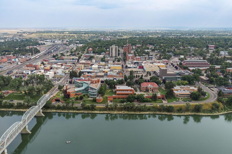
Area photo: downtown Medicine Hat. Quintin Soloviev, Wikimedia Commons, CC BY 4.0. Prairie Crest Medicine Hat
Medicine Hat, AB (featured on this page)
- 74 rooms on 3 floors, built in 2004
- Buffet breakfast included daily, 6 am to 10 am
- Self parking and RV, bus and truck parking at no charge, with accessible van parking
Also listed: Pets welcome, no pet fee listed; Barbecue grill and outdoor furniture.
9.4/10 on Orbitz (2,402 reviews, 16 November 2026)
View on Orbitz -
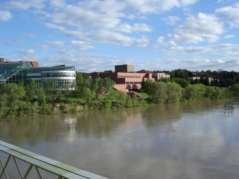
Area photo: South Saskatchewan River, Medicine Hat. Festbock, Wikimedia Commons, CC BY-SA 3.0. Ramada by Wyndham Medicine Hat
Medicine Hat, AB
- 100 rooms on 2 floors, no elevator
- Indoor pool, hot tub, sauna and steam room
- Continental breakfast included
Also listed: Beefeater Steak House on site; Self parking at no charge; pets for a nightly fee per pet.
6.4/10 on Orbitz (1,003 reviews, 16 November 2026)
View on Orbitz


Getting around the city
The Trans-Canada Highway runs through the city, and Highway 3 passes the airport on the southwest side. Both hotels on our list offer self parking on site at no charge, so a car is the simplest way to link the south side, downtown and the river parks. Cyclists can use the trail network Tourism Medicine Hat describes, including the route from Strathcona Island Park into Historic Downtown. For bus routes and schedules, check the city's transit information before you travel.
Medicine Hat questions
Which part of Medicine Hat has the hotels on this list?
Both are on the southeast side: Prairie Crest Medicine Hat on Strachan Crt SE and Ramada by Wyndham Medicine Hat on 13th Avenue South East.
How tall is the Saamis Tepee?
The City of Medicine Hat gives the main masts as 215 feet, with a diameter of 160 feet.
Where does the Medicine Hat airport sit?
Just off Highway 3 at 1-49 Viscount Ave SW. Orbitz lists it 7 to 8 minutes by car from the two hotels here.
Which river parks have a boat launch?
Tourism Medicine Hat lists boat launches at Strathcona Island Park and Echo Dale Regional Park.
Can I cancel a Medicine Hat booking made through these links?
It depends on the rate you choose. The booking site shows the cancellation terms before you pay.
Sponsored guide. bipaventures.com earns a commission when you book through links on this page, and that affects which hotels we feature and in what order. We do not take bookings. Hotel details come from Orbitz listings and area details from city and tourism board websites as of 16 November 2026; confirm current rates, fees and cancellation terms on the booking site before you pay.
Operated through bipaventures.com.
Not affiliated with or endorsed by Medicine Hat or the hotels listed. Hotel and brand names are used only to identify them.